Long-distance cycle path - Lake Constance Königssee cycle path through the Blue Land

GPX

PDF

22,59 km long
long-distance cycle path

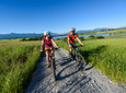
On the 418 kilometers of the Lake Constance-Königssee cycle path, you overcome a total of 3.917 meters in altitude in pleasant stages. Discover our magnificent foothills of the Alps and its world-famous cultural monuments in a completely different way.


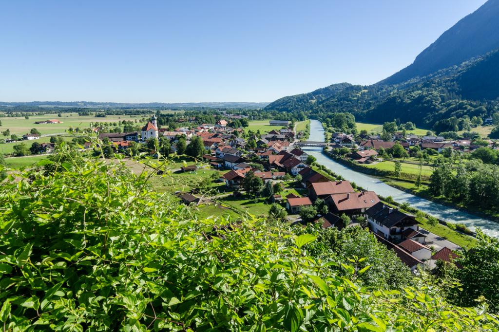
This tour describes the section of the route in the Blue Land from Grafenaschau to Großweil.

Good to know

Directions

You start the tour in Grafenaschau and follow the little-used road westwards via Schwaigen to just before Eschenlohe. Before you cross the federal road (B2), turn right and, after a left turn, you reach the town of Eschenlohe. After the church you drive onto Murnauer Straße, enter an industrial area and finally reach the banks of the Loisach. You follow the river and after a while turn right into Partenkirchener Straße. You will soon be in Ohlstadt and have the opportunity to stroll through the original streets, visit the Kaulbach Villa, have a café or stop off at one of the restaurants. We continue on the bike along Schwaigangerstrasse. At the end of the town, turn right into Fieberkirchweg. Following this you will reach the well-known Schwaiganger Stud Farm. From there you take the well-developed cycle path to Großweil.

safety instructions

In an emergency, please contact the nearest rescue control center. Regardless of your location, you can reach them anywhere in Germany by calling 112.


The hiking and cycling paths we describe are primarily used for forest management; you use them at your own risk (Section 14 Para. 1 BForestG).

Arrival & Parking

From Munich via the A95 and St2062 and from Garmisch-Partenkirchen via the B2 and the St2062
Parking at the Grafenaschau sports field

Public transportation

Bus stop: Grafenaschau
Bus route:
9621 Murnau - Seehausen - Grafenaschau


Guests in the "Blue Land" region and the "Ammergau Alps" region can use a variety of bus lines and train lines from Murnau to Oberammergau and from Uffing to Garmisch-Partenkirchen free of charge with the electronic guest card or KönigsCard. Further information can be found at: https://www.dasblaueland.de/Service/mobil

Map

You can obtain maps from the tourist information centers and the municipal administrations in the Blue Land. You are welcome to order brochures using our brochure ordering tool at www.dasblaueland.de.

Organization

The Blue Land

Nearby

tour dates
Start: Grafenaschau
Destination: Großweil

light

01:45 p.m

22,59 km

51m

86m

622m

666m

You seem to be using Microsoft's Internet Explorer Web browserto view our website.

For functionality and security reasons, we strongly recommend using an up-to-date web browser such as Firefox, Chrome, Safari, Opera or Edge to use. Internet Explorer does not display all of the content on our website correctly and does not offer all of its functions.