Long-distance cycle path - Loisach cycle path

GPX

PDF

113,70 km long
long-distance cycle path

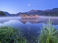
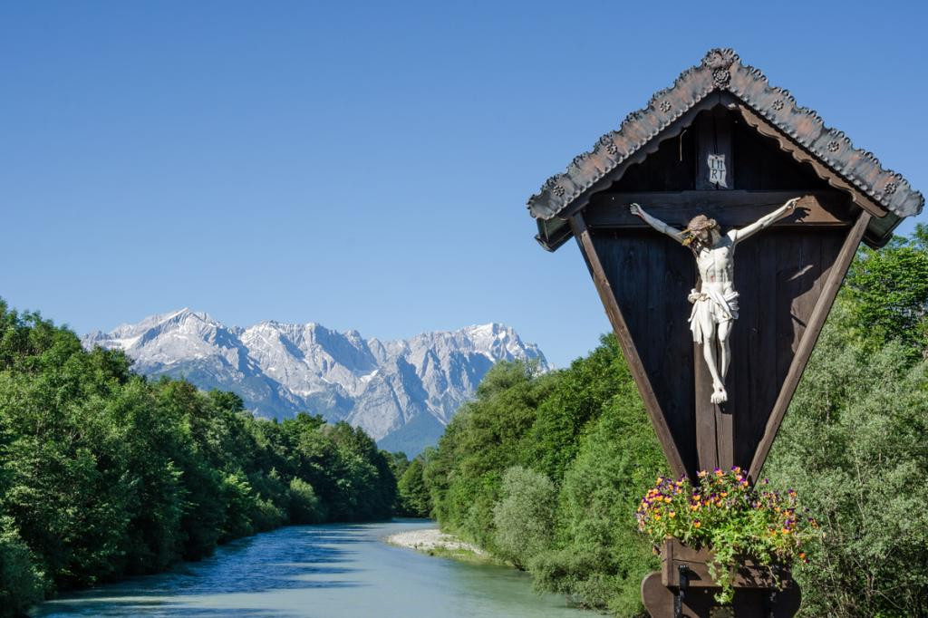
Discover the new Loisach cycle path: Majestic Alpine scenery, moors, lakes, rare flora - the well-signposted Loisach cycle path from Lermoos to Wolfratshausen offers all this and much more. Follow the course of the Loisach from its origin to its mouth.

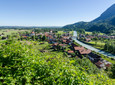
With a length of just over 100 kilometers you are offered pure variety. You can take a sporty approach to the tour and leave in one day, or you can plan several days for the route - countless tourist highlights await you along the way that are waiting to be discovered. Whether a ride on the Zugspitzbahn, a detour to the Glentleiten open-air museum or a short stroll through nearby Murnau with its museums - a ride on the Loisach cycle path leaves nothing to be desired. Along the route you will also find information about rafting. A must-do tour for every leisure cyclist!

Good to know

Directions

The Loisach rises in a moorland in the state of Tyrol between the Lechtal Alps in the west and the Mieming Mountains in the east below or north of the Fern Pass. Its source is in the municipality of Biberwier in the Blind-, Mitter- and Weißensee area. The tour starts there on the Loisach cycle path. Its water then flows north through the Ehrwald Basin and then along the B 187 through Ehrwald and west past the Zugspitze to the German border. Your path takes you along the river into the Zugspitzland and further into the Blue Land. Via Ohlstadt with its original town center and the worth seeing Kaulbachvilla and Großweil you reach Kochelsee. From the lake we continue via Benediktbeuern and Eurasburg to Wolfratshausen. At Wolfratshausen the Loisach finally flows into the Isar.

safety instructions

In an emergency, please contact the nearest rescue control center. Regardless of your location, you can reach them anywhere in Germany by calling 112.


The hiking and cycling paths we describe are primarily used for forest management; you use them at your own risk (Section 14 Para. 1 BForestG).

Public transportation

Guests in the “Blue Land” region and the “Ammergau Alps” can use a variety of bus lines and train lines from Murnau to Oberammergau and from Uffing to Garmisch-Partenkirchen free of charge with the electronic guest card or KönigsCard. Further information can be found at: https://www.dasblaueland.de/Service/mobil

More information / links

author

Simon Bauer

Organization

The Blue Land
tour dates
Start: Biberwier
Destination: Wolfratshausen

medium

06:00 p.m

113,70 km

231m

741m

572m

1.141m

You seem to be using Microsoft's Internet Explorer Web browserto view our website.

For functionality and security reasons, we strongly recommend using an up-to-date web browser such as Firefox, Chrome, Safari, Opera or Edge to use. Internet Explorer does not display all of the content on our website correctly and does not offer all of its functions.