
Good to know
Directions
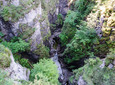
We cross the village square of Eschenlohe, on our right is the church of St. Clemens. We follow the signs “Oberau” and “Katzental”, pass the cemetery, go through an underpass and follow the signs straight ahead towards Oberau. We now hike through open terrain, the path takes us past a farm and “Höllenstein”. We continue to follow the signs for “Oberau”, cross a small torrent and continue straight ahead. To our left a small waterfall cascades down, the mossy trees offer a bizarre sight. At the next two forks in the road we keep left. We always stay on the forest road and follow the signs to Oberau until, shortly before the Oberau swimming pool, a footpath branches off to the right over a small bridge. We pass the bridge, come across a small street and follow it downhill. In the valley we pass two farms and then cross the Gießenbach. At the next cross street we turn right on the footpath and pass a sawmill. Where the footpath ends, we continue along the side of the road and turn right onto the next street, Höfelestrasse, at the Mack guesthouse.
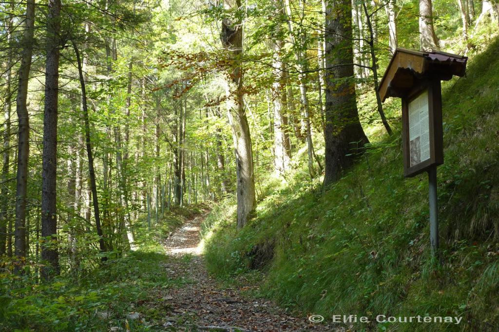
We follow it until it forks and go right. Shortly afterwards we come to Ettaler Straße, which we cross (be careful, traffic!) and now follow the sign “Alte Ettaler Straße”. We first keep left and then right again. The path winds along as a path next to the stream and eventually becomes narrower. Where it ends, a footbridge leads over the stream, on the other side we continue to the right on a gravel path. A short time later we cross the stream again and are now on “Alte Ettaler Straße”. This leads to the right at the next fork in the road, but we follow the left path. It leads us a little further along the stream and soon the “Kienbergstrasse”, this oldest mule track and path, turns right. At the beginning of this oldest connection between Oberau and Ettal, a stele awaits us. If there is fresh snow in winter, it may be that the “Kienbergstrasse” is not groomed, so we would be better off taking the “Alte Ettaler Strasse”.
Stele 12: Old and oldest Ettaler Straße
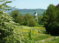
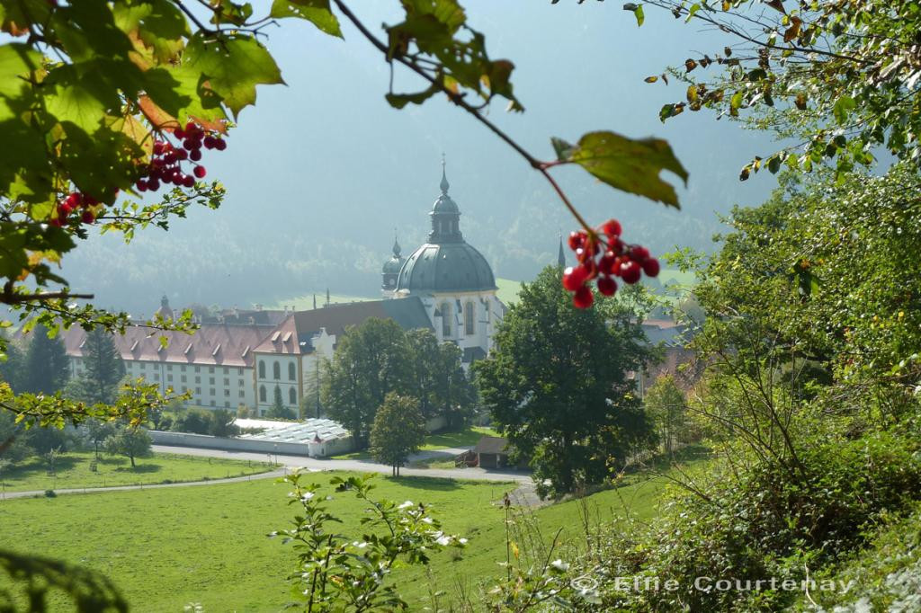
The Kienbergstrasse leads uphill through the forest and gives an idea of how laborious and dangerous transport with pack animals and carts once was here. Finally the path leads to “Alte Ettaler Straße”. We follow it and reach the new Ettaler Bergstrasse, which we have to cross (be careful, traffic!). Opposite we take the gravel path and follow it uphill. We come across old Stations of the Cross and a wayside shrine with the Madonna and Child. Immediately after the first houses in Ettal, we turn right into “Alte Bergstraße”, which leads along a mountain path to Oberammergau. We come across a forest nature trail that we continue to follow. In between we always have charming views of Ettal and the monastery complex. Finally we come across stele number 12 on the Ammergau meditation hiking trail, which leads from Oberammergau to Ettal. This is where the circle closes, where the paths ultimately converge. At the next fork in the road we now have the choice of whether we turn left to Ettal or stay on the high path and continue hiking to Oberammergau. Refreshments and overnight accommodation: Klosterhotel Ludwig der Bayer (no day off), Tel. 0 88 22/91 50, www.ludwig-der-bayer.de.
safety instructions
In an emergency, please contact the nearest rescue control center. Regardless of your location, you can reach them anywhere in Germany by calling 112.
The hiking and cycling paths we describe are primarily used for forest management; you use them at your own risk (Section 14 Para. 1 BForestG).
Arrival & Parking
Public transportation
Bus stop: Eschenlohe town center
Guests in the “Blue Land” region and the “Ammergau Alps” can use a variety of bus lines and train lines from Murnau to Oberammergau and from Uffing to Garmisch-Partenkirchen free of charge with the electronic guest card or KönigsCard. Further information can be found at: www.dasblaueland.de/Service/Kostenlos-BusFahren
Map
More information / links
author
Ammergauer Alpen GmbH
Organization