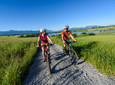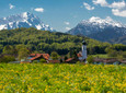
"Yes, where are you now?! in Upper Bavaria or in East Frisia, or even in both?" Many hikers will ask themselves this when they choose the Loisach circular route near Großweil.
Good to know
Directions
Here you are not hiking by the sea, but along the Loisach River, in the meadows behind the dike there are not some Frisian sheep grazing, but Bavarian cows, and in the background there are views not of the wide horizon, but of the nearby Jochberg mountains , Herzogstand and Heimgarten, but you still can't avoid this impression when you walk from the hiking car park at the Loisach Bridge in Großweil along the river to Schlehdorf.
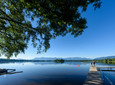
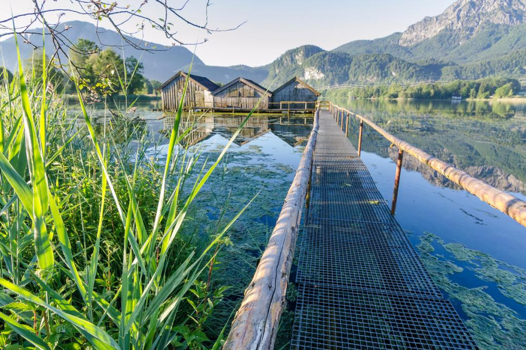
In this place, which is characterized by the striking missionary Dominican monastery, hikers can enjoy delicious Bavarian dishes as well as fine fish dishes in one of the numerous restaurants. Here they also have the opportunity to visit the impressive church of St. Tertulin, or at a cozy place Take part in a motorboat trip on Lake Kochel.
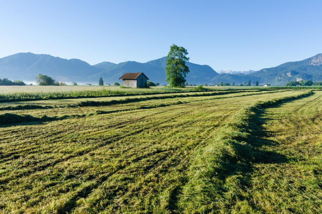
The route back to Großweil is mainly on field and meadow paths, where you can visit the open-air museum of the Upper Bavaria district on the Glentleiten, a visit to a large railway landscape, or a final rubber boat trip on the Loisach, along which you have just marched.
safety instructions
In an emergency, please contact the nearest rescue control center. Regardless of your location, you can reach them anywhere in Germany by calling 112.
The hiking and cycling paths we describe are primarily used for forest management; you use them at your own risk (Section 14 Para. 1 BForestG).
Arrival & Parking
Parking at the Loisach Bridge
Public transportation
Bus stop: Großweil town hall
Bus routes through Großweil:
9611 Kochel - Schlehdorf - Großweil - Ohlstadt - Murnau (Note: The Glentleiten open-air museum is only served from April to October!)
9613 Penzberg - Benediktbeuern - Kochel - Schlehdorf
9617 Penzberg - Iffeldorf - Antdorf - Habach - Sindelsdorf - Penzberg
Guests in the "Blue Land" region and the "Ammergau Alps" region can use a variety of bus lines and train lines from Murnau to Oberammergau and from Uffing to Garmisch-Partenkirchen free of charge with the electronic guest card or KönigsCard. Further information can be found at: https://www.dasblaueland.de/Service/mobil
Map
More information / links
author
Ammergauer Alpen GmbH
Organization